SRTM elevation data
Finding a streamflow gauge
For this workshop, we need to find a watershed that has a streamflow gauge at its outlet for calibration purposes.
Go to StreamStats and search for 02331600, which is the name of a United States Geological Survey (USGS) streamflow gauge.
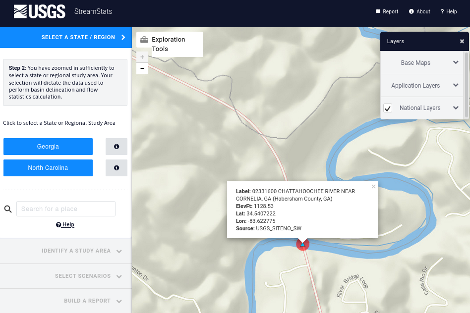
Copy the latitude and longitude to a text editor. We will need this information later.
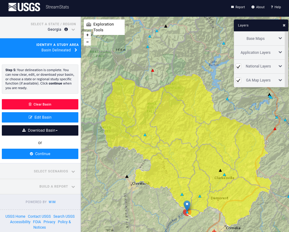
Select Georgia and delineate a watershed at just the downstream cell of the gauge. Download the watershed Shapefile as streamstats_02331600_watershed.zip.
Downloading the SRTM DEM
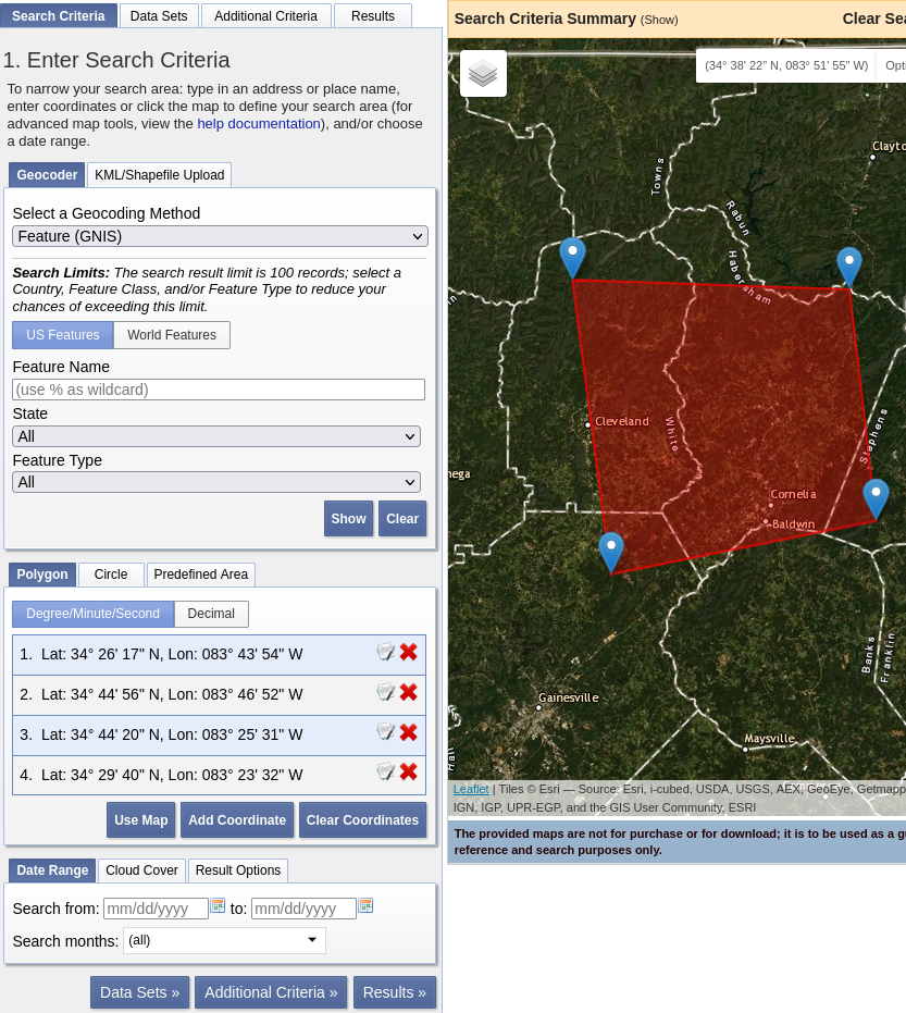
Go to EarthExplorer and zoom to the area of the watershed above. Draw a polygon that entirely covers the watershed.
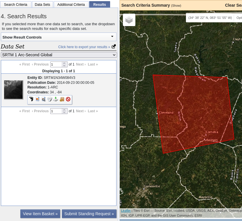
We will use the SRTM DEM. Click Data Sets and search for “SRTM 1 arc-second”.
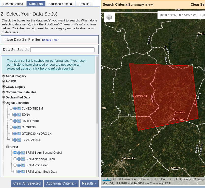
Click Results and download the GeoTIFF file.